← Services
03
Seismic Survey
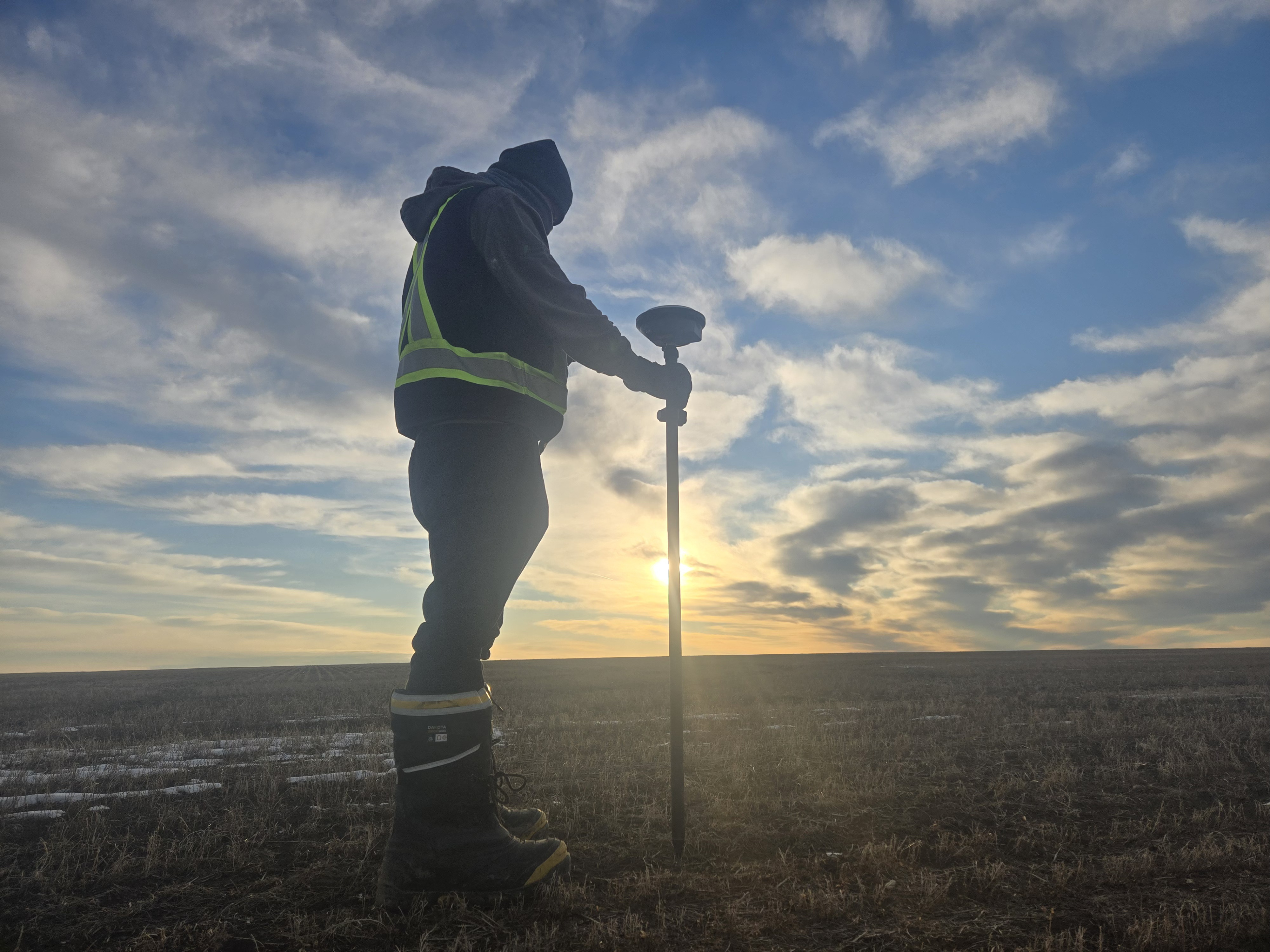
Our GNSS survey crews deliver high-precision positioning and field layout services for seismic, construction, and remote industrial operations. Using RTK, PPP, and client-specific coordinate systems, we provide reliable centimeter-grade accuracy across challenging terrain and demanding field conditions.
Capabilities
What we deliver
- RTK & PPP GNSS workflows
- High-precision field positioning
- Custom coordinate systems & tie-ins
- Seismic points staking
- Daily digital deliverables
Specializations
Specialized GNSS services for field operations.
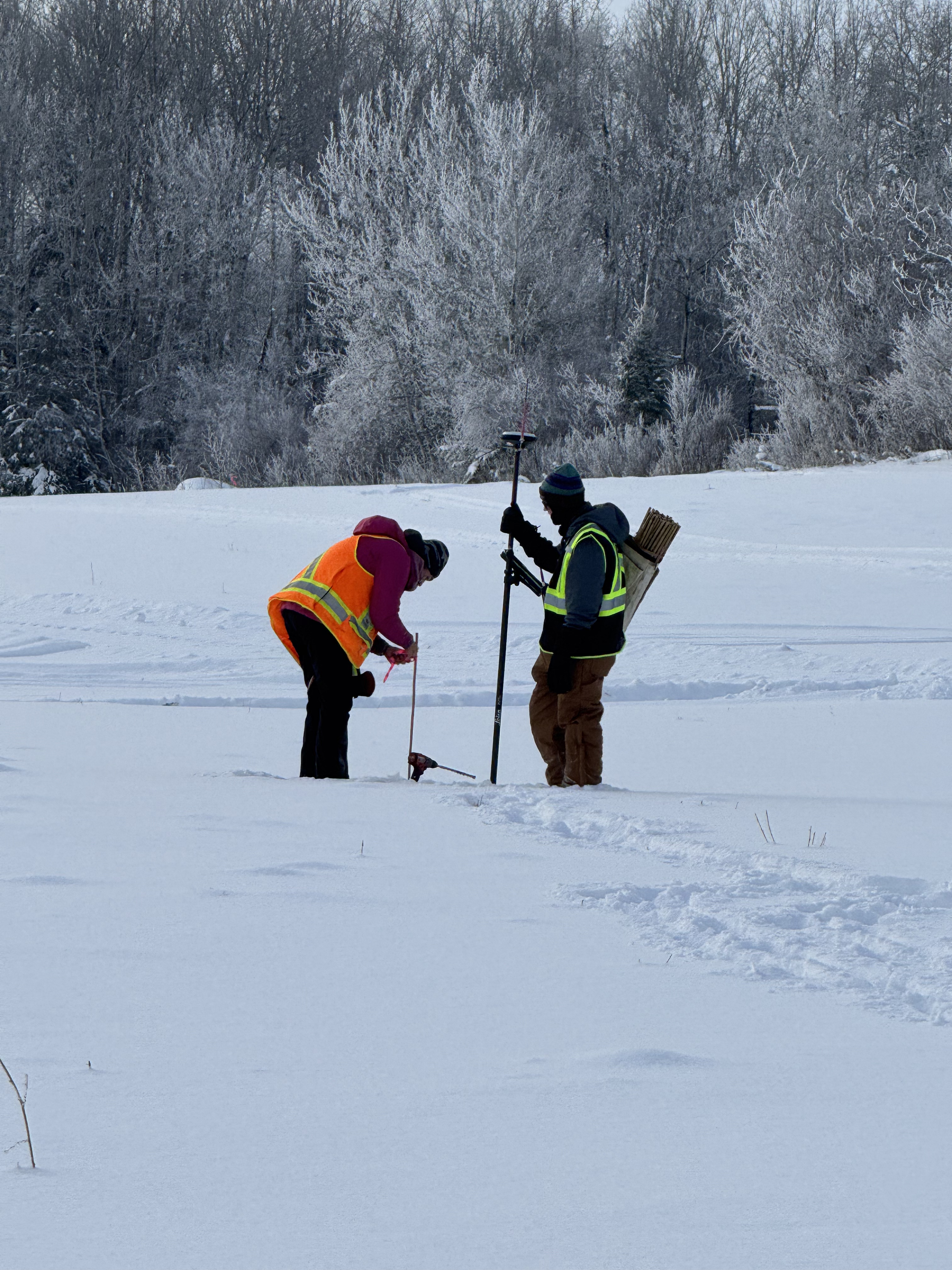
Point Staking
Precision staking and layout services for seismic programs, access roads, lease sites, and infrastructure tied directly to project design coordinates.
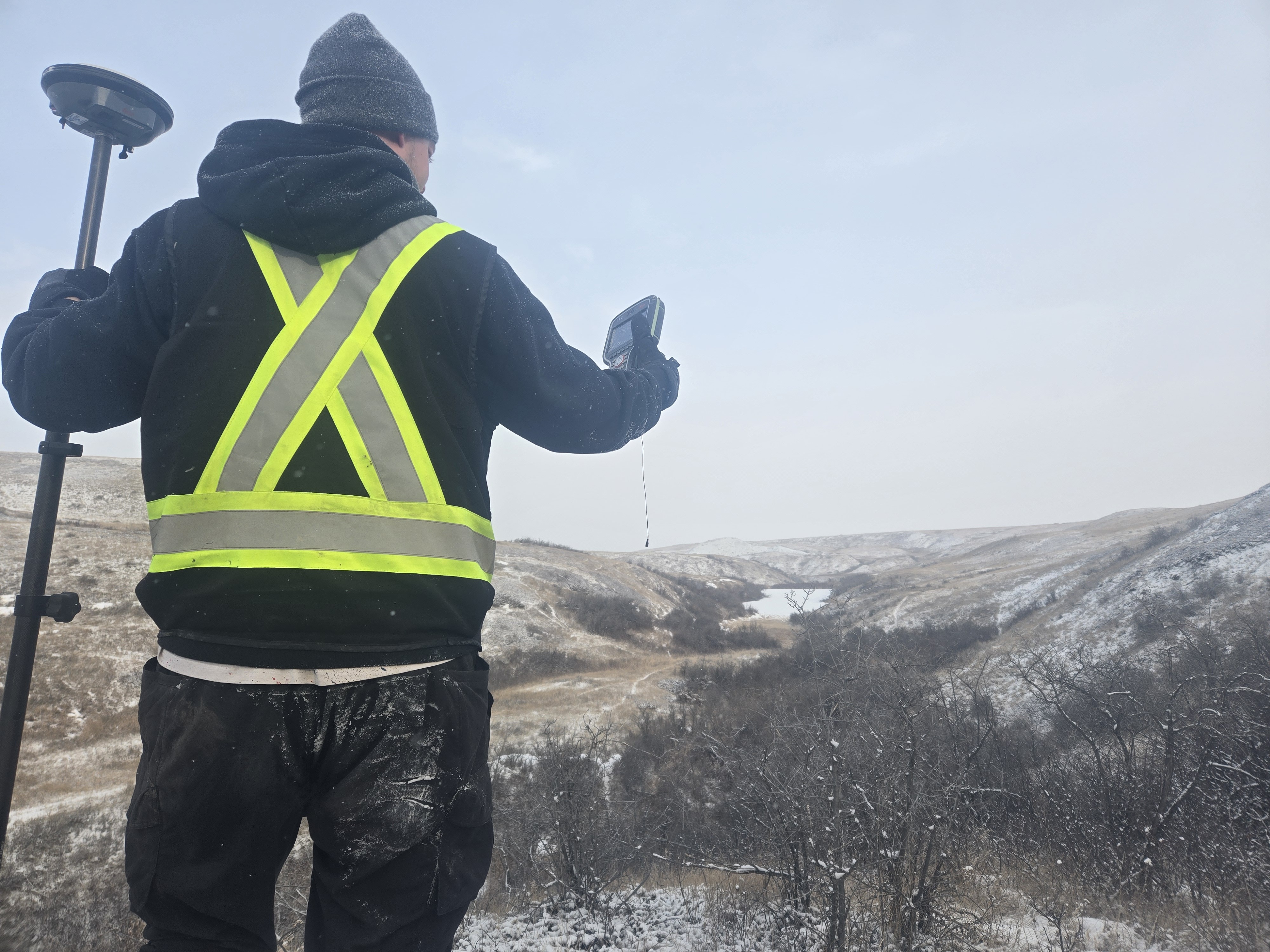
Pipe Locating
GNSS-supported utility and pipeline locating services that help identify existing infrastructure and reduce operational risk during seismic and construction activities.
Technologies We Use
Technologies powering precision field operations.
- RTK GNSS
- PPP processing
- Leica GNSS systems
- Custom coordinate transformations
- GIS-integrated workflows
- Digital field reporting
Other services
View all →01
Geophysical Field Services
Field acquisition crews running dynamite-source and low-impact seismic programs.
02
Seismic Line Clearing
Low-impact mulching and slashing to prepare seismic lines and access corridors.
04
Lease Site Construction & Earthworks
Building safe, reliable access and work areas for demanding field operations.
05
Vegetation Management
Integrated herbicide, mechanical, and drone-based vegetation control across Western Canada.
06
GIS & Drone Services
Live GIS mapping of every field operation, supported by drone capture and site surveillance.