Geophysical field services.
High-fidelity seismic acquisition built for modern exploration programs. From conventional dynamite-source surveys to low-impact vibroseis operations, we deliver safe, efficient, and field-proven acquisition across remote and environmentally sensitive environments.
Our crews support the full acquisition lifecycle, from surveying and geophone layout to shooting, pickup, field QC, and live operational coordination, ensuring accurate subsurface data and reliable execution in demanding terrain.
From first stake to final pickup.
Surveying & Geophone Layout
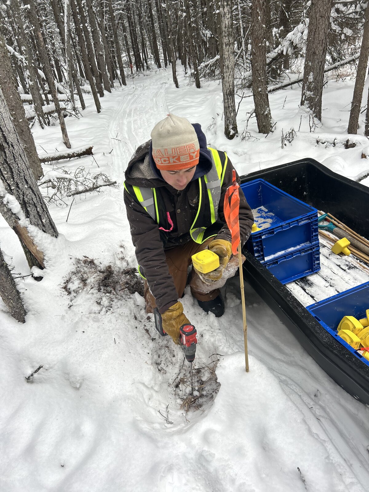
Crews navigate to planned receiver locations and deploy geophones directly on surveyed points throughout the spread. Programs may run as two-person survey-and-layout crews, pre-staked receiver workflows, simultaneous survey-and-layout, or fully GNSS-guided positioning, depending on the design.
- Two-person survey & layout crews
- Pre-staked receiver layout crews
Shooting Operations
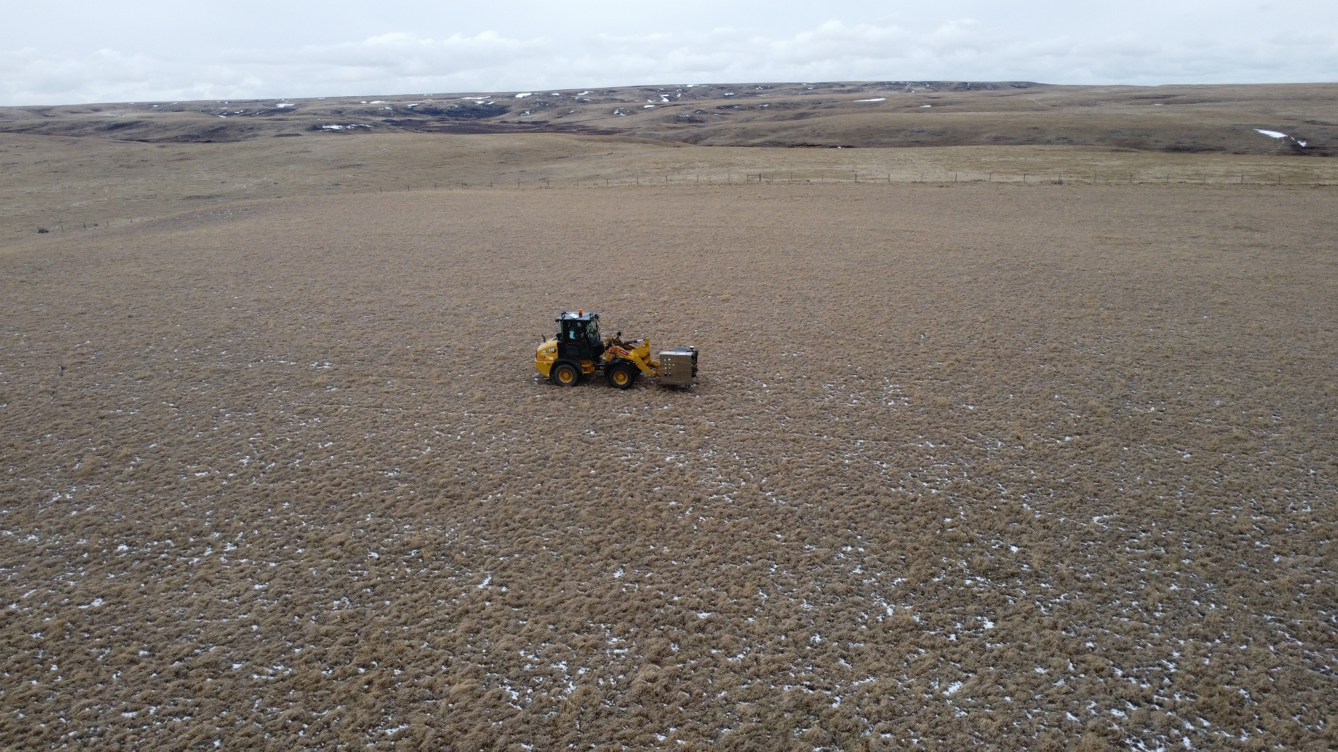
Once the receiver layout is in place, source operations begin. Method selection depends on program design, terrain, and environmental sensitivity, supporting both conventional dynamite-source acquisition and modern low-impact vibroseis programs.
- Drill, load, and discharge shot holes
- GNSS-located source points
- Pre-staked or real-time as-you-go
- Tracked, tractor, and LGP support
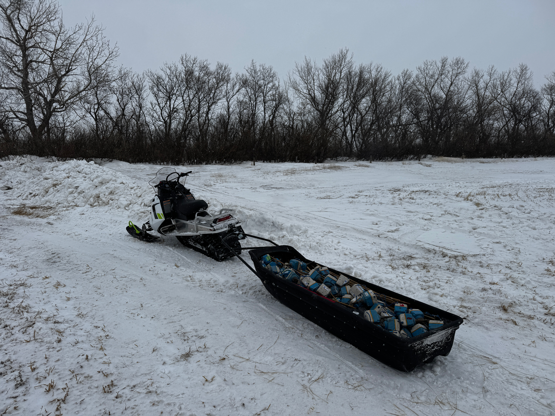
Pickup & Equipment Recovery
Pickup crews recover geophones and field equipment from the active spread, carefully coordinated with ongoing shooting to maintain operational efficiency, equipment accountability, and safe execution.
- Geophone recovery
- Equipment inventory verification
- Spread progression support
- Final field checks and cleanup
Two source methods. One field team.
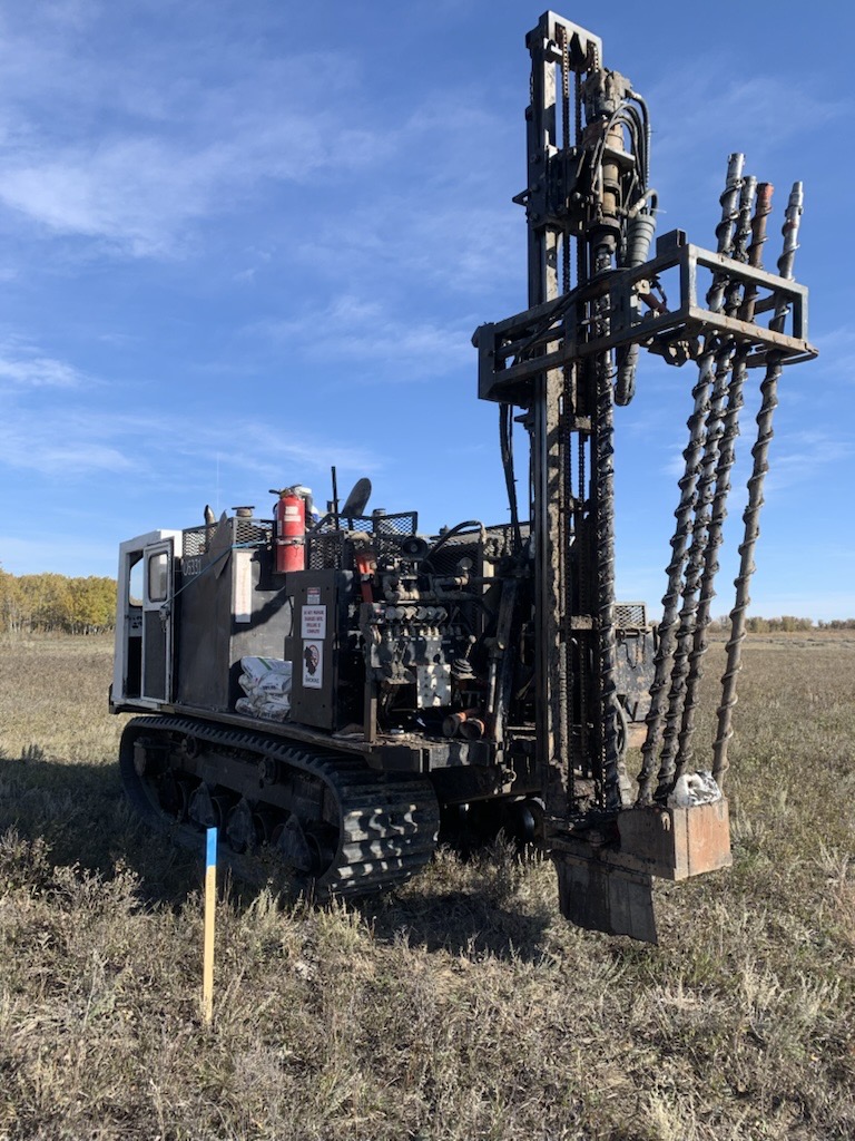
Dynamite Source
Shot-hole drilling and dynamite-source acquisition for programs requiring deep penetration and strong seismic signal performance in complex geological environments.
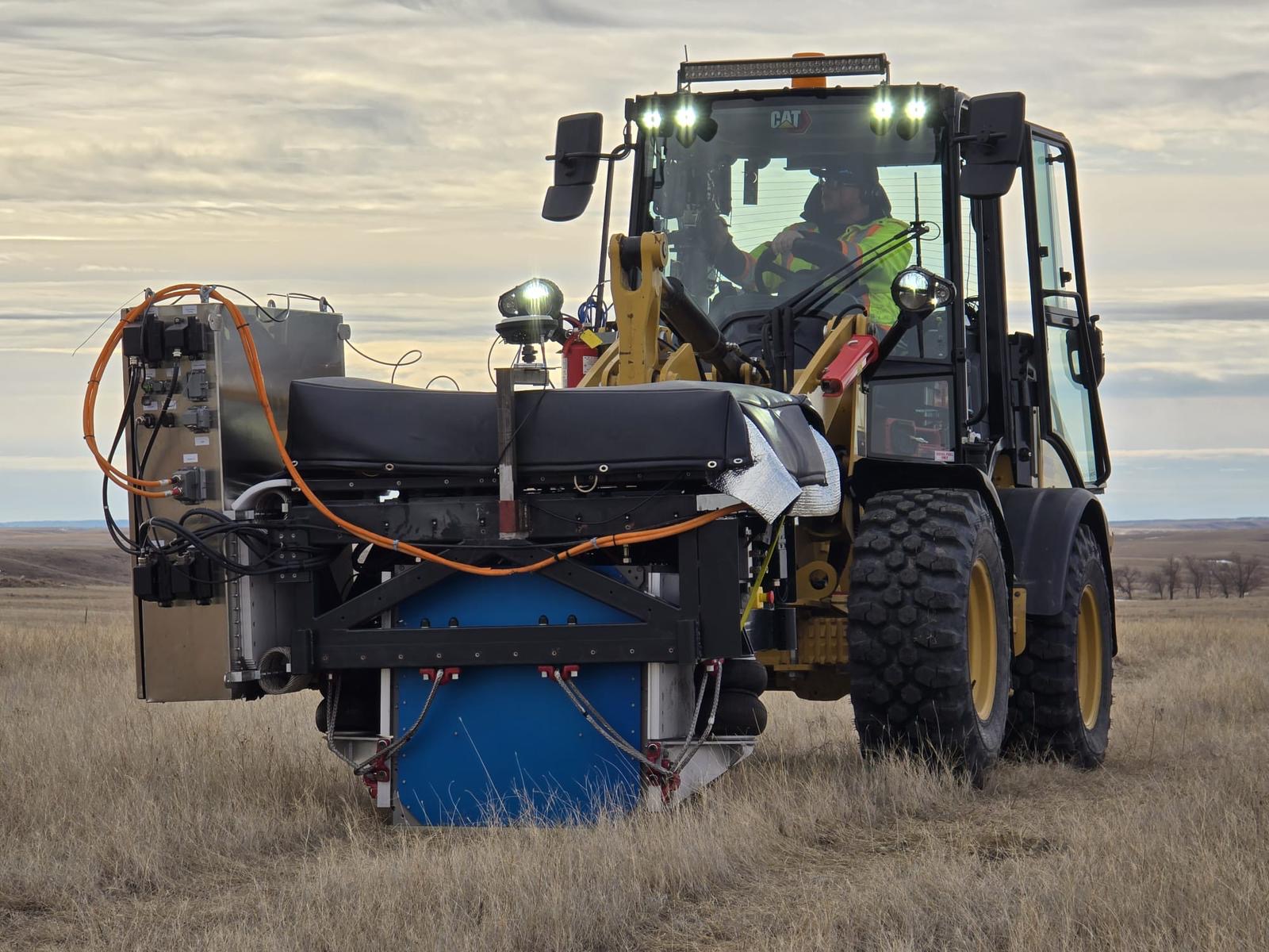
Low-Impact Vibroseis
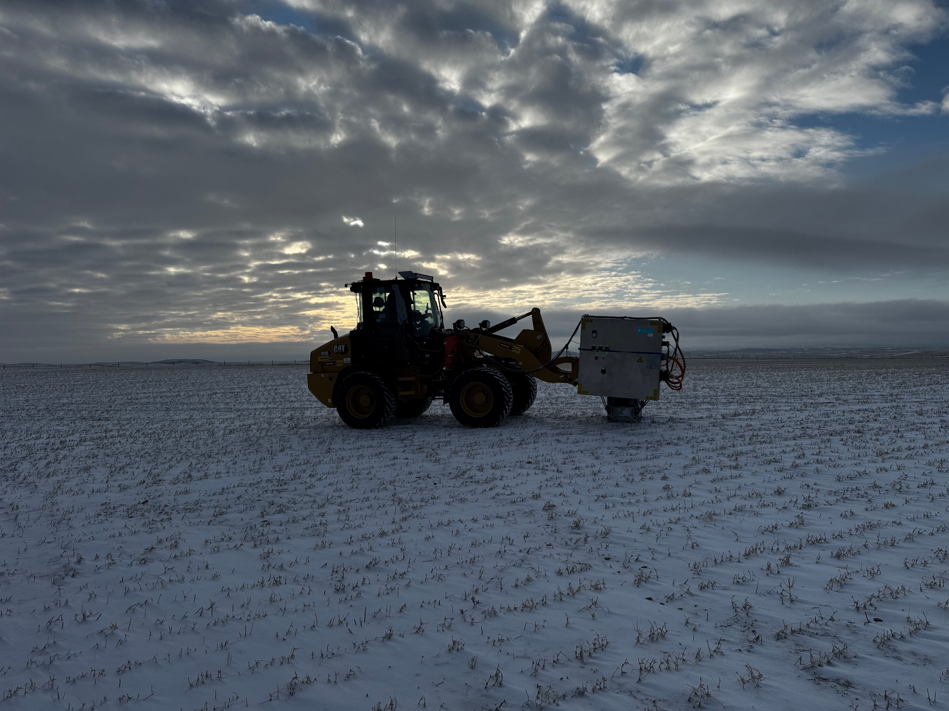
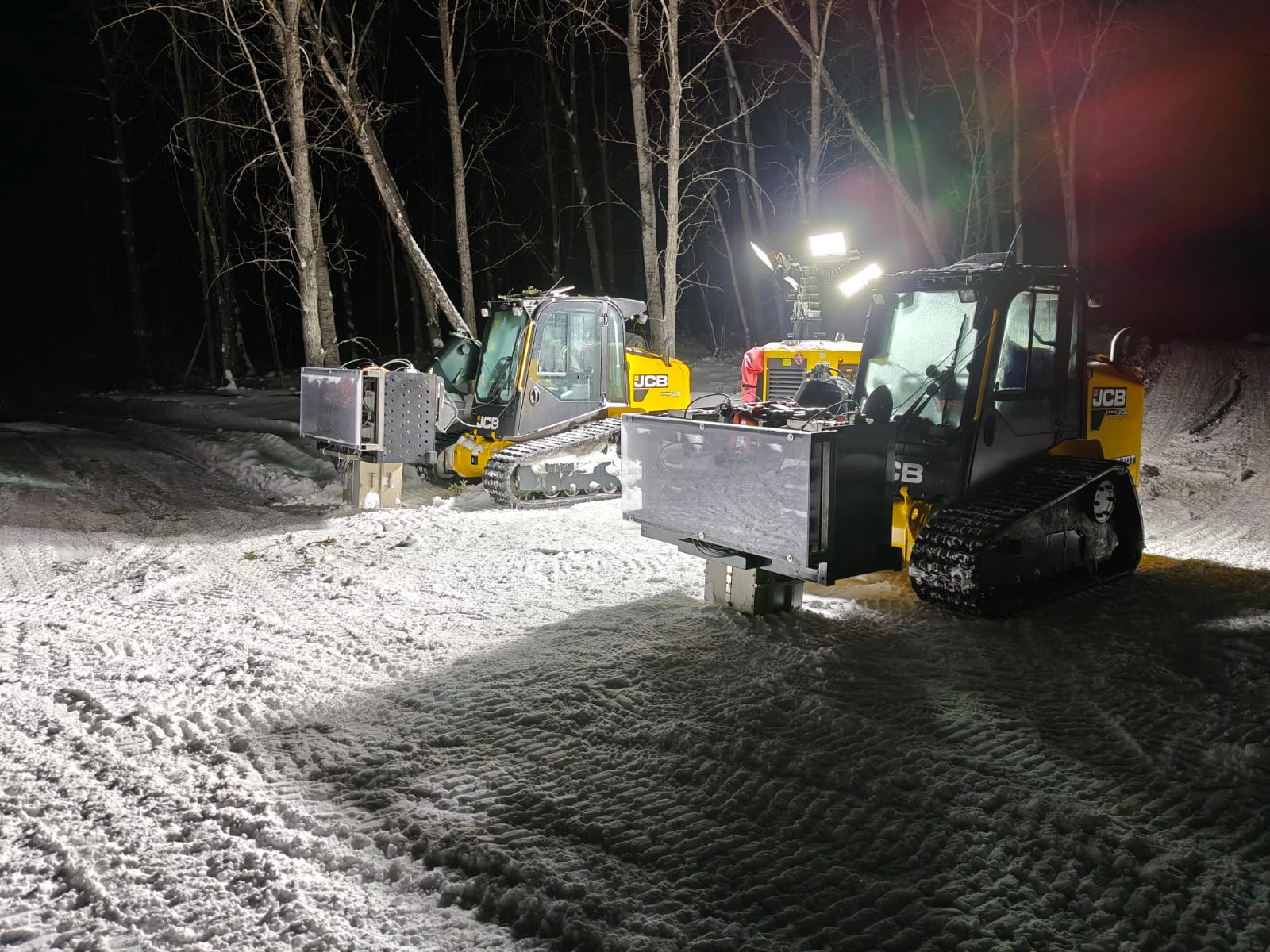
Environmentally conscious acquisition using GNSS-located vibroseis on tracked, tractor, low-ground-pressure, or narrow-corridor support equipment, minimizing surface disturbance while maintaining efficient, reliable subsurface imaging.
Real-time visibility across active operations.
Modern seismic acquisition requires continuous coordination between survey, layout, drilling, vibroseis, pickup, QC, and field supervision. Our operations integrate live mapping, GNSS positioning, and digital reporting so every team is working from the same picture.
- GNSS positioning systems
- Live field mapping
- Real-time operational tracking
- Site surveillance support
- Field progress monitoring
- Digital reporting & QC workflows
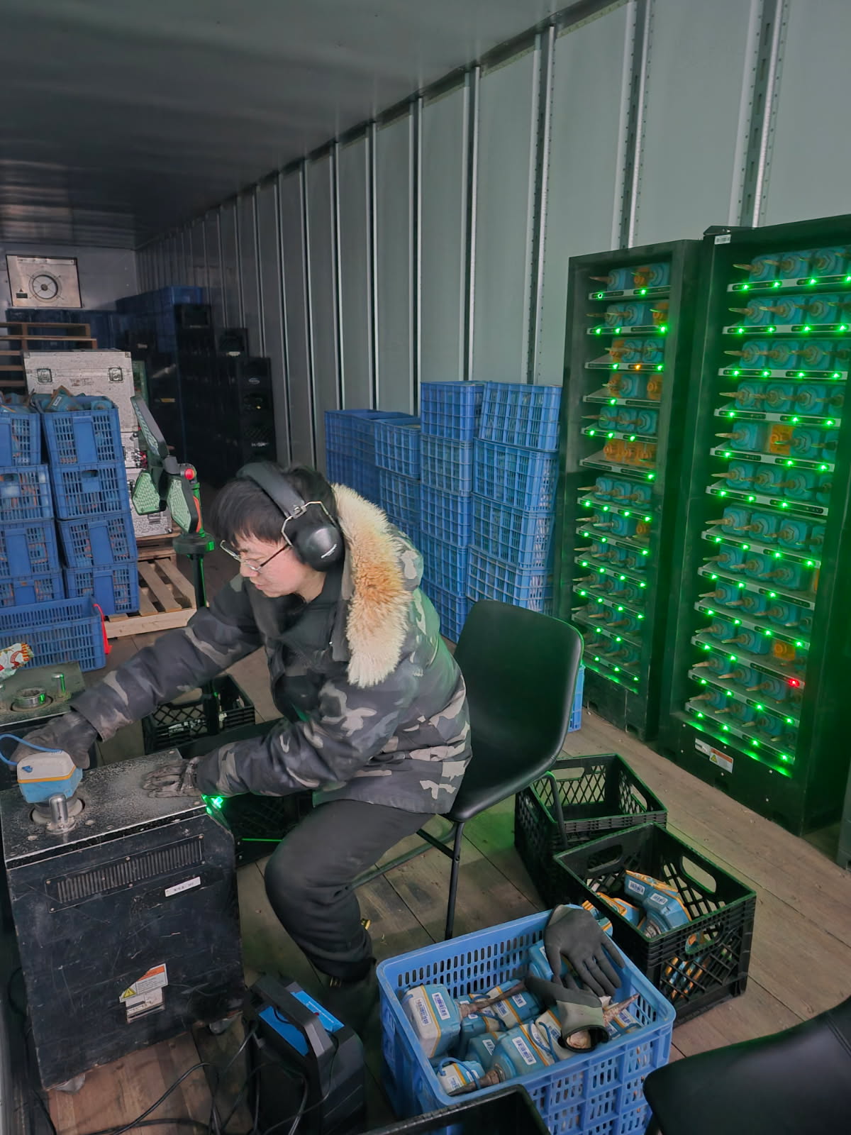
Reliable acquisition, backed by rigorous QC.
Field data is continuously reviewed during acquisition to maintain recording quality and operational consistency. Once equipment is recovered, every record is validated and prepared for post-processing, reducing rework and improving overall project efficiency.
- 01Geophone data downloaded
- 02Acquisition records validated
- 03QC checks completed
- 04Problem areas identified and corrected
- 05Data prepared for post-processing
Ready to plan your next acquisition?
From remote forest corridors to large-scale exploration programs, we deliver coordinated seismic acquisition backed by experienced crews, modern positioning technology, and rigorous field QC.